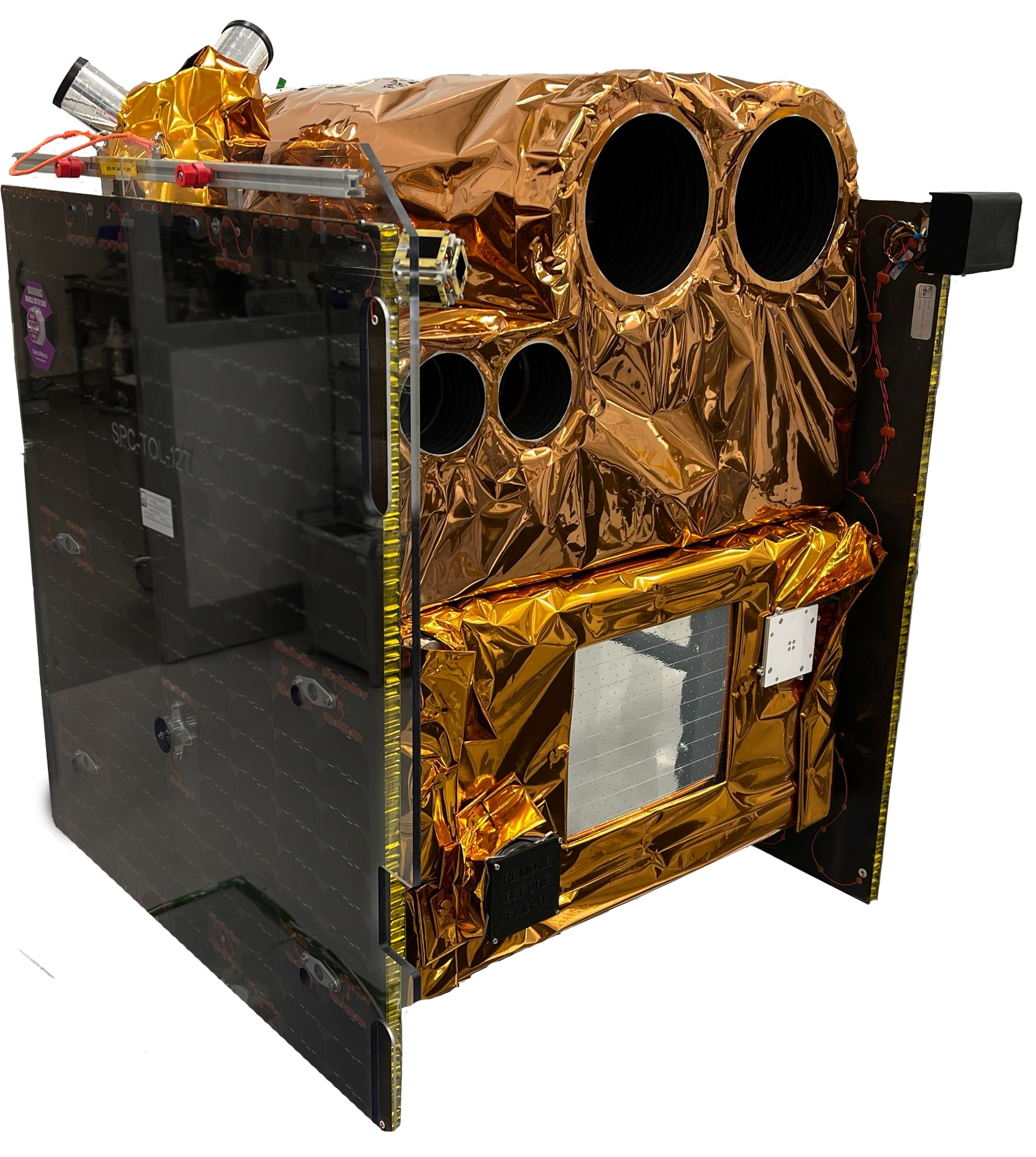
GARAI A and GARAI B are two high-performance Earth Observation MicroSatellites, designed to provide submeter resolution.
Capabilities: each satellite carries onboard two dual-channel instruments with multispectral, short-wave infrared, polarimetry and video capabilities: ISIM-90 and ISIM-170 Payloads developed by SATLANTIS.
The satellites are to be launched to SSO orbit at around 500-550 (km) altitude in 2025.
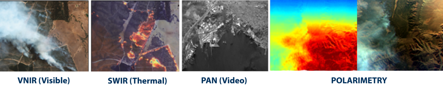
The missions will feature a nominal lifetime of ~ 5 years and provide global coverage with high resolution multispectral imagery in VNIR (5 bands), SWIR (5 bands), Polarimetry, plus video and imagery in PAN.
The iSIM-90 instrument is the lightest and most compact optical payload of the iSIM family, able to provide imagery in the VNIR (Visible and Near-Infrared) and/or SWIR (Short-Wave Infrared) spectral ranges, designed to fit 12U/16U CubeSat platforms, while keeping a high performance-to-mass ratio.
Based on SATLANTIS’ proprietary and flight-proven technology iSIM.
The iSIM-170 instrumentis able to provide imagery in the VNIR (Visible and Near-Infrared) and/or SWIR (Short-Wave Infrared) spectral ranges, designed to fit Microsatellites platforms, with an unprecedented mass-to-resolution ratio.
Based on SATLANTIS’ proprietary and flight-proven technology iSIM.
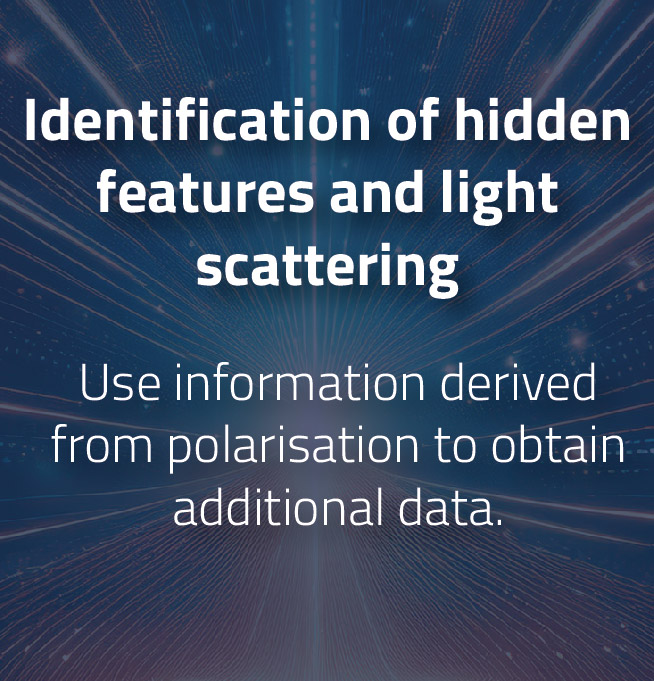
As part of the GARAI mission, SATLANTIS has integrated a polarimetric filter into the visible channel of the iSIM-90 payload. This development enables:
Polarimetry System Overview
The polarimetry system includes polarized filters incorporated into SATLANTIS’ optical payloads for Earth Observation. This system generates a two-dimensional map of pixels, where each pixel captures the polarization state of incident light. By combining intensity measurements from different filters, the system calculates the Stokes parameters.
This allows the creation of images of the observed area, enriched with polarization information across the entire field of view.
Applications of SATLANTIS Imaging Solutions
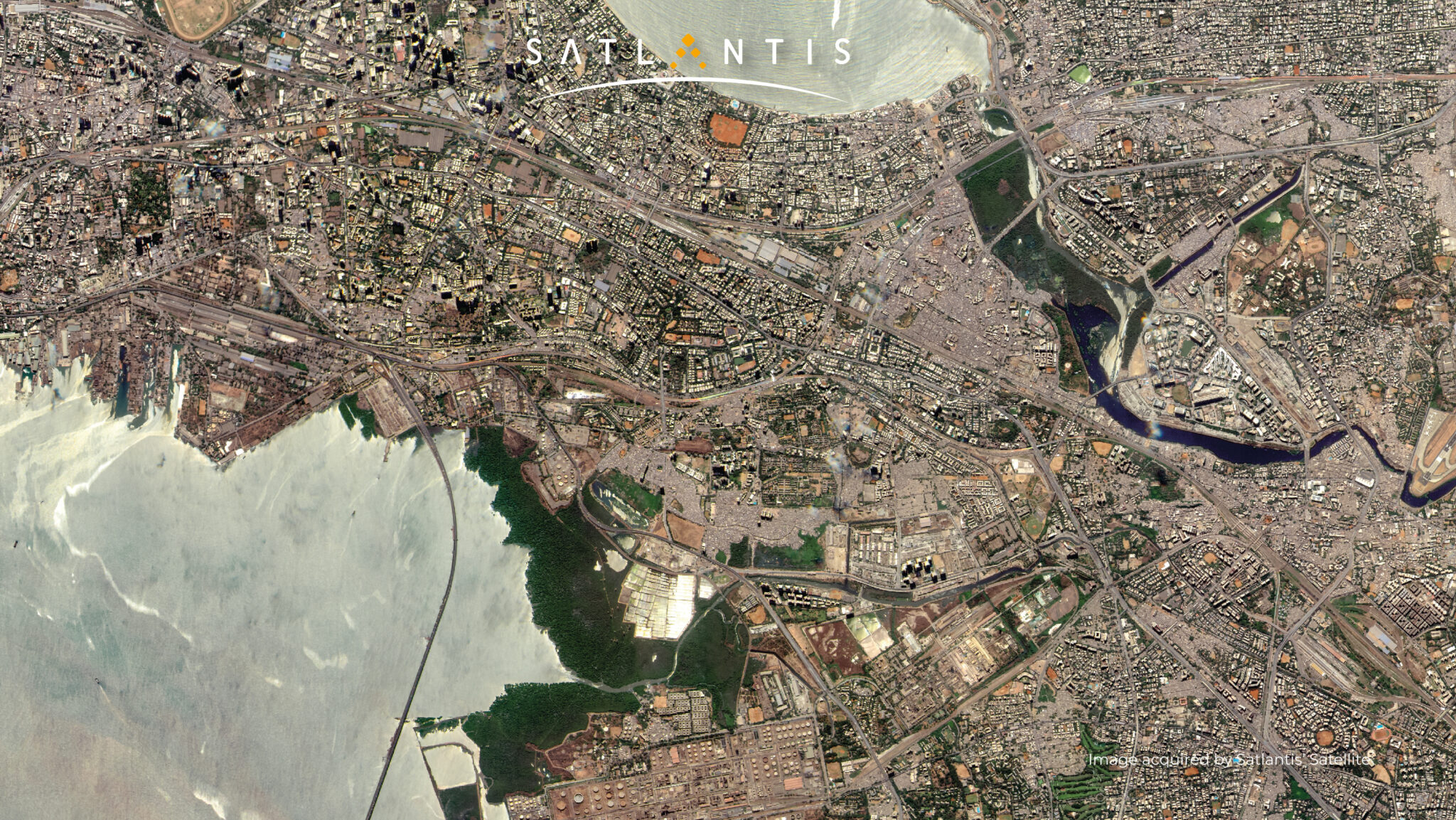
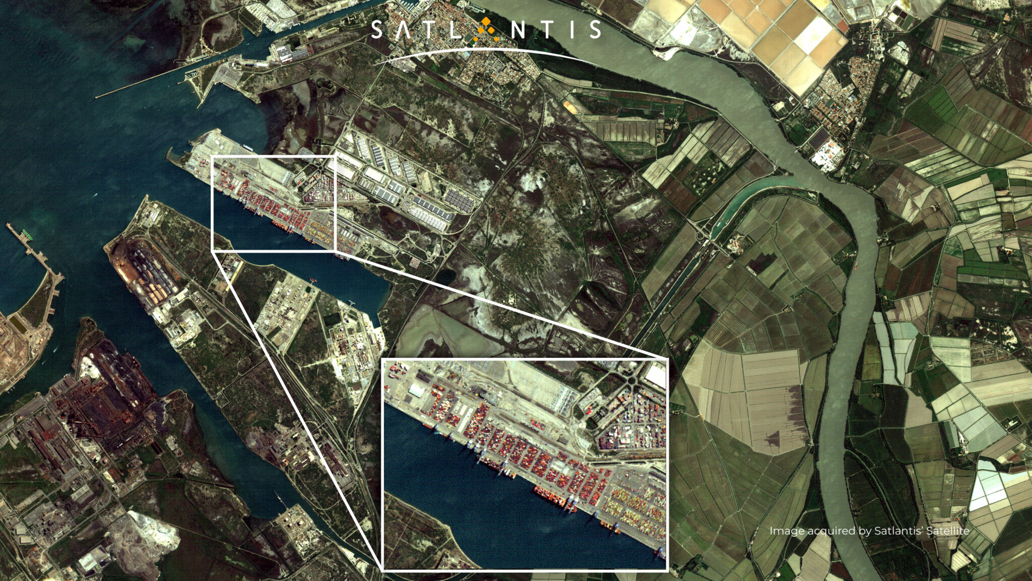
We offer innovative satellite imagery solutions that can be applied across various sectors, providing valuable data for addressing global challenges, such as:
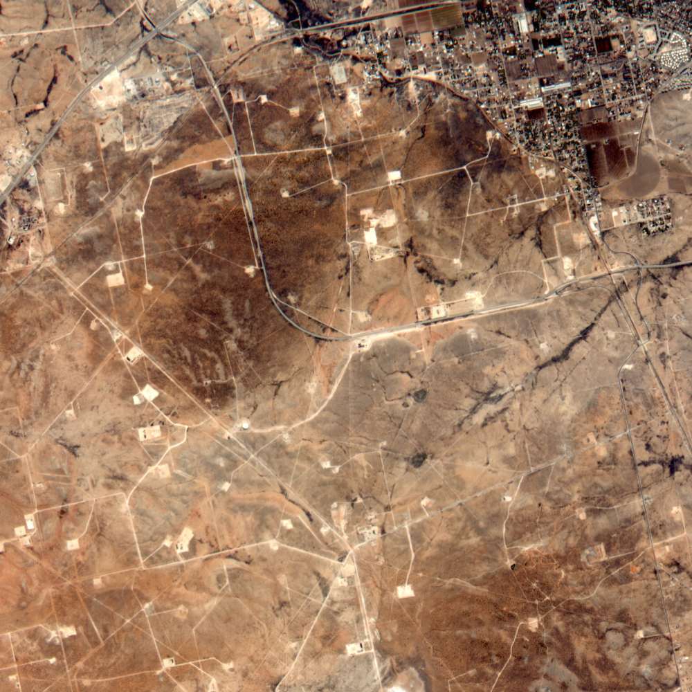
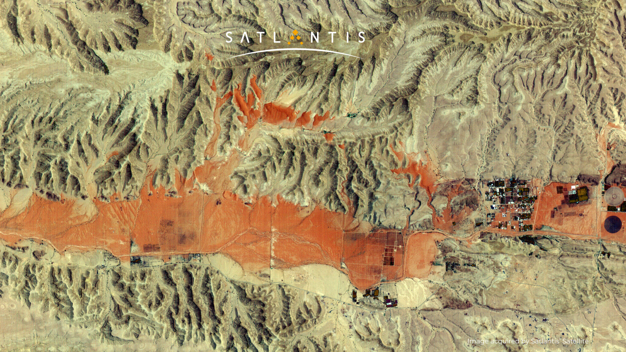
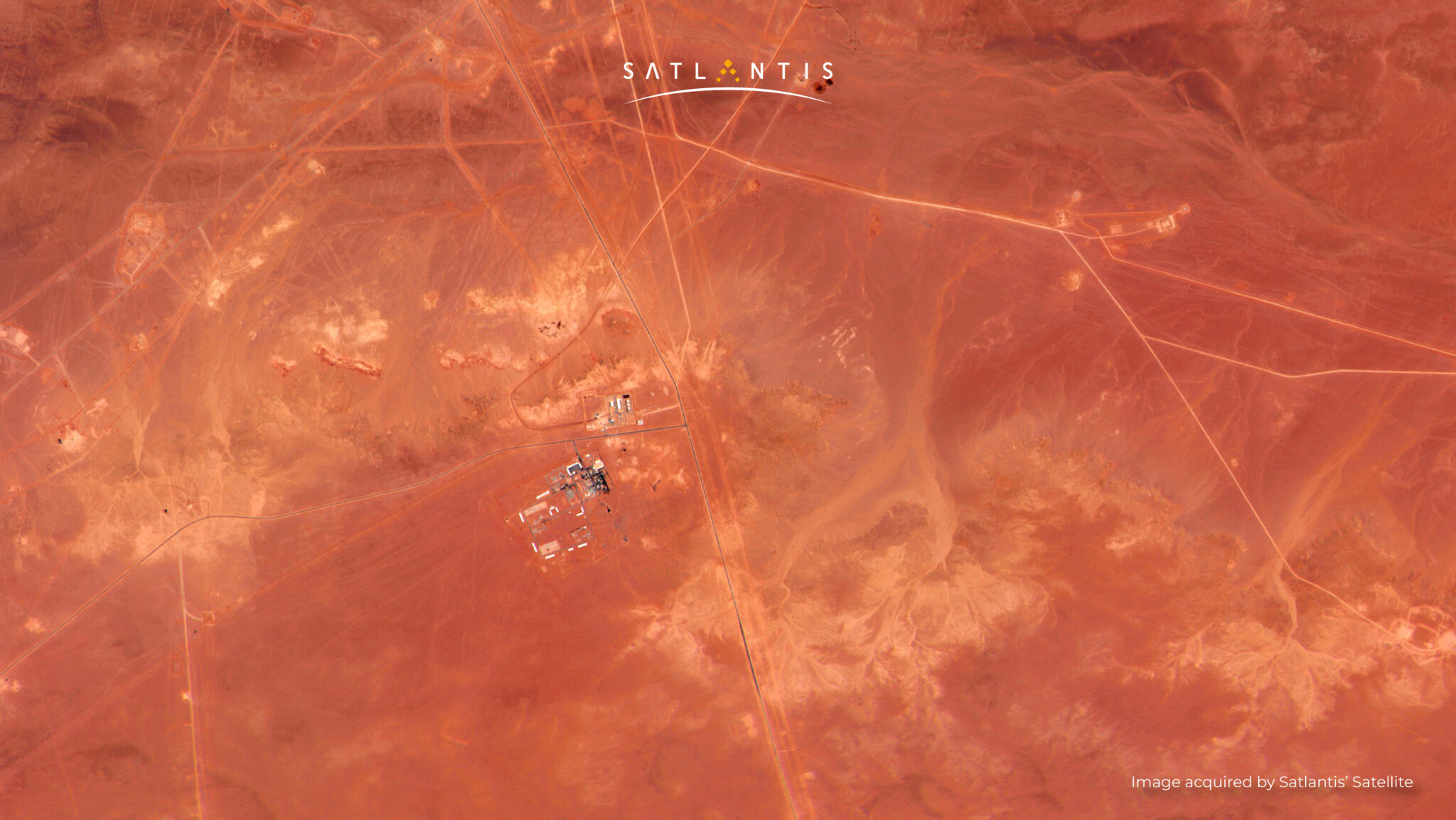
Visual monitoring of pipeline and electrical distribution lines: ensuring the safety and reliability of infrastructure.
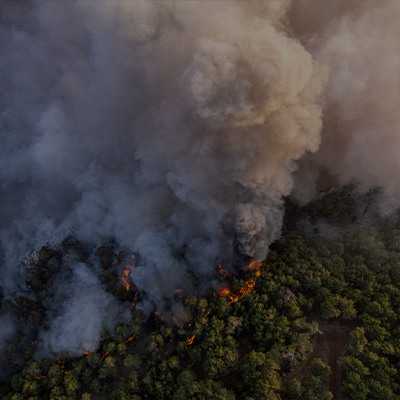
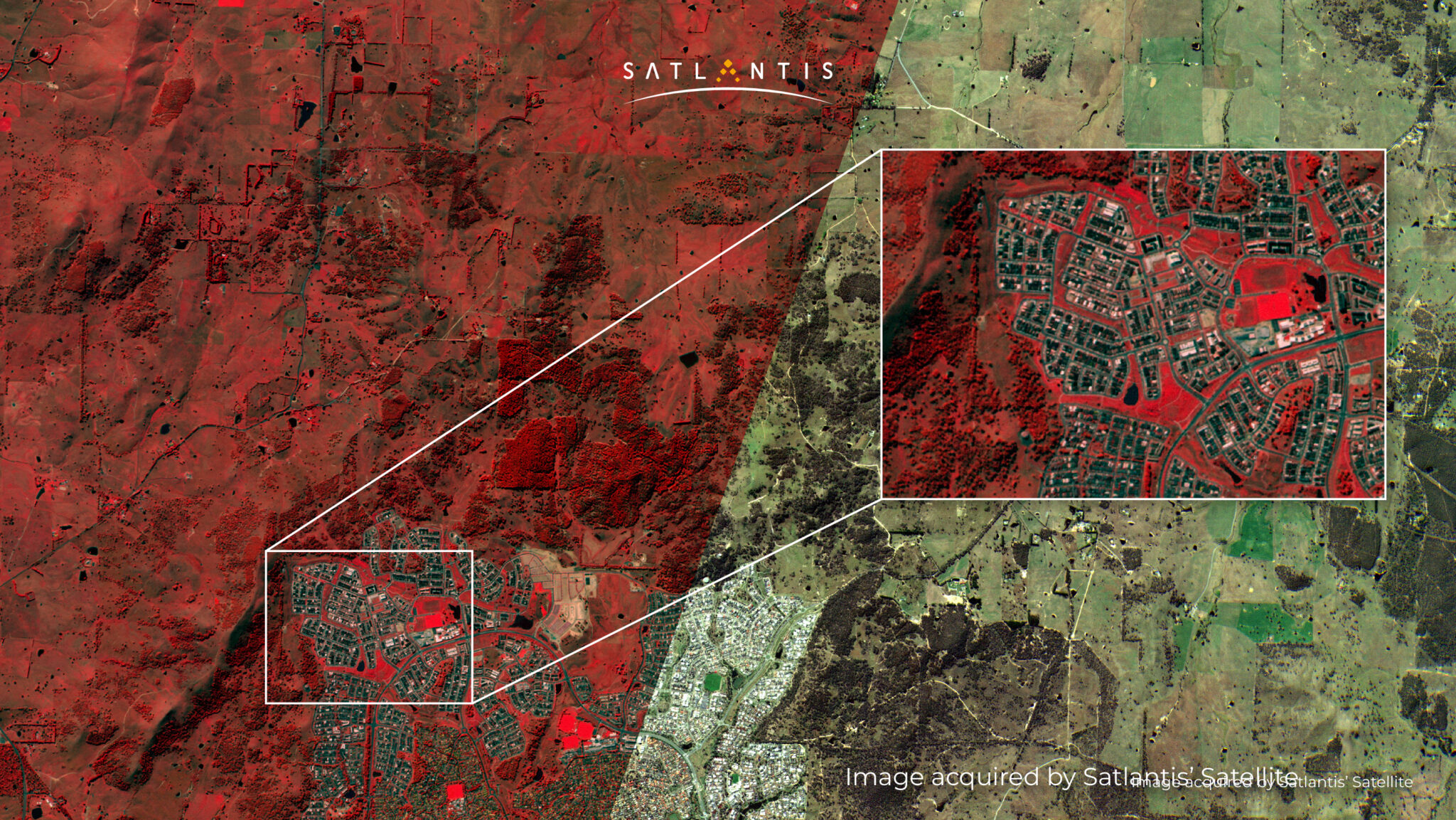
Fire surveillance and prevention: enhancing early detection and response to wildfires.
Coastal waters pollution control: monitoring contamination in sensitive coastal ecosystems.
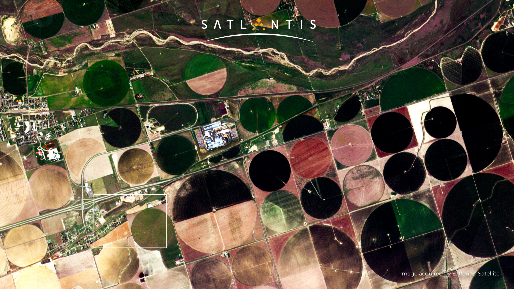
Agricultural disease monitoring: detecting and managing crop diseases like citrus greening to protect food security.
Environmental challenges: a wide range of applications, from climate change impact assessments to biodiversity conservation.
MASS: < 4 kg - targeted for 12/16U CubeSats SWATH (at 500 km) PAN & VNIR: 13 - 23,5 km SWIR: 8,2 km IMAGING GSD (at 500 km) PAN & VNIR: 2 m SWIR: 5 m HERITAGE: validated in Space in Q4 2021
iSIM 170 - Main Features
MASS: <15 kg targeted for Microsatellites SWATH (at 500 km) PAN & VNIR: 7,5 - 13,5 km SWIR: 4,2 km IMAGING GSD (at 500 km) PAN & VNIR: <1 m SWIR: 2,5 m MULTISPECTRAL BANDS
HERITAGE: validated in Space in Q2 2020